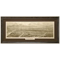
London Panoramic Map from the Illustrated London News, circa 1861
View Similar Items

Want more images or videos?
Request additional images or videos from the seller
1 of 3
London Panoramic Map from the Illustrated London News, circa 1861
About the Item
- Dimensions:Height: 35 in (88.9 cm)Width: 60 in (152.4 cm)Depth: 2 in (5.08 cm)
- Place of Origin:
- Period:
- Date of Manufacture:1861
- Condition:This uncolored engraving is in very good condition and is beautifully presented using finest archival materials and procedures.
- Seller Location:Colorado Springs, CO
- Reference Number:Seller: M0911stDibs: LU90971077172
About the Seller
4.9
Platinum Seller
These expertly vetted sellers are 1stDibs' most experienced sellers and are rated highest by our customers.
Established in 2010
1stDibs seller since 2011
400 sales on 1stDibs
More From This SellerView All
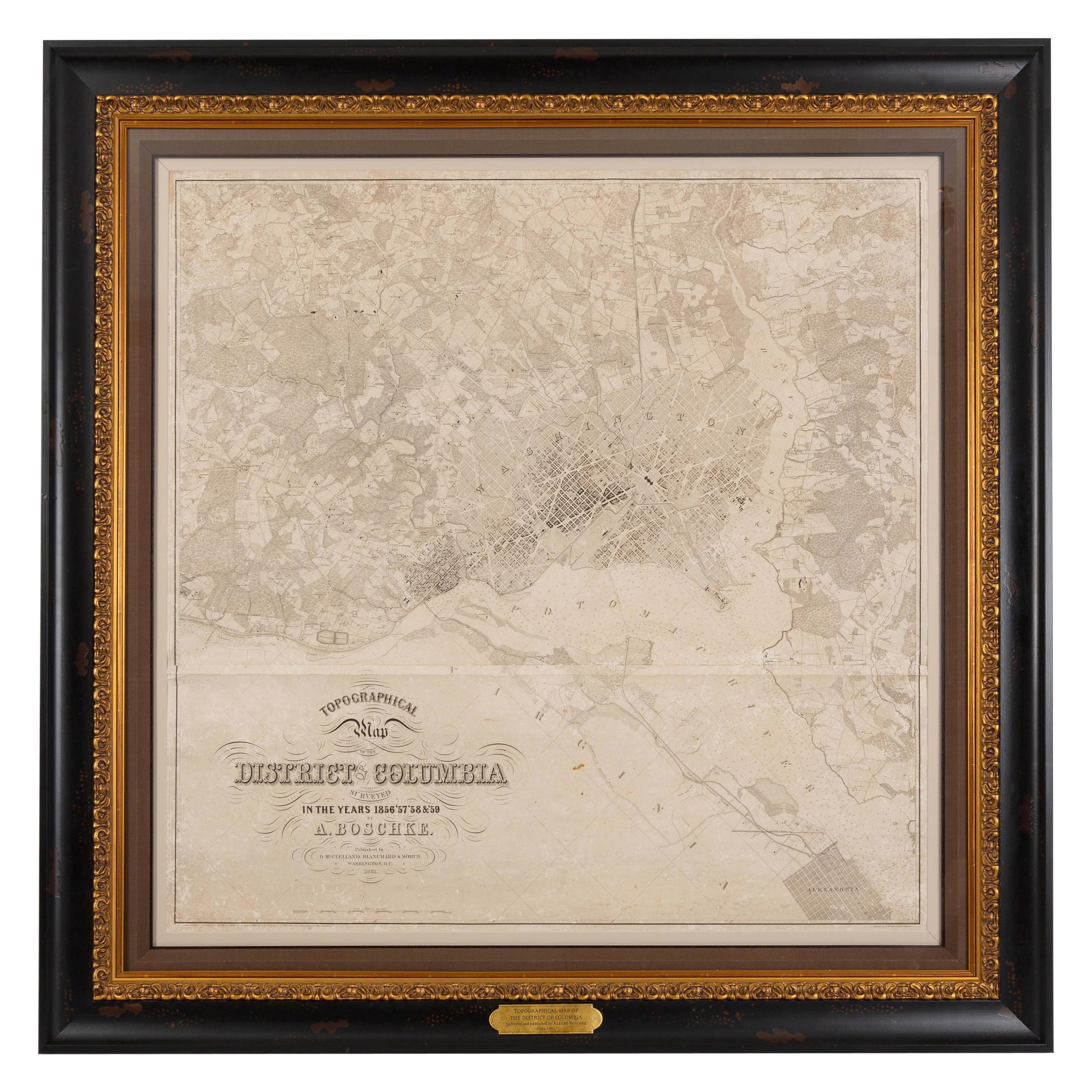
- 1861 Topographical Map of the District of Columbia, by Boschke, Antique MapLocated in Colorado Springs, COPresented is an original map of Albert Boschke's extremely sought-after "Topographical Map of the District of Columbia Surveyed in the Years 1856 ...Category
Antique 1860s American Historical Memorabilia
MaterialsPaper
- "The United States from the Latest Authorities" Antique Wall Map, 1835Located in Colorado Springs, COThis is a 1835 map of “The United States from the Latest Authorities” by Ezra Strong. A hand-colored engraved wall map of the eastern half of the United States, this map has a large inset of the "Oregon District" and several engraved city views and two portraits. The primary map extends to Mexico Texas and the Missouri Territory, showing the course of the Missouri River to Ft. Mandan and Old Ft. Mandan, and noting many forts along the river. The territories to the east of Missouri Territory are separately delineated as Sioux District and Huron District. The western details of the map are very good for a map of this time period, with many Native American settlements, villages, forts and other details noted. The map is bordered with vignettes of Boston, New York, Philadelphia, Hartford, Cincinnati, and Baltimore. Each vignette notes the date settled, primary settler, and the population as of 1830. Two portraits of LaFayette and George Washington are presented in full length with related biographical information. A large inset map at lower right shows the Oregon District, centered on the Columbia River and extending to the Rocky Mountains. This is one of the earliest commercial appearances of a separate map of Oregon...Category
Antique 1830s American Maps
MaterialsPaper
- "Clason's Guide Map of Montana" by The Clason Map Company, Circa 1920sLocated in Colorado Springs, COPresented is “Clason's Guide Map of Montana,” published in the early 1920s by the Clason Map Company. Issued as a folding map, this map identifies county boundaries, county seats, Na...Category
Vintage 1920s American Art Deco Maps
MaterialsPaper
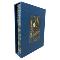
- The Robinson Crusoe by Daniel Defoe, Illustrated, 1931Located in Colorado Springs, CODefoe, Daniel. The Life and Strange Surprising Adventures Robinson Crusoe of York, Mariner, as related by Himself. London: Humphrey Milford, 1931. Embe...Category
Vintage 1930s English Books
MaterialsPaper
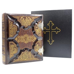
- The Holy Bible, Standard Edition, Illustrated Family Bible, 1885Located in Colorado Springs, COThe “Standard” Edition of The Holy Bible, Containing the Old and New Testaments and Apocrypha, Translated out of the Original Tongues, Together with Cruden’s Complete Concordance… and Revised New Testament, with Many Other Important and Useful Aids to the Study of the Holy Scriptures, All Written to Increase the Interest in and Simplify the Study of the Word of God. Syracuse: Bible Publishing House, 1885. Standard Edition. Illustrated with steel and wood engravings and chromolithographs. Large quarto, with original full leather carved and gilded boards. Gilded edges and pewter clasps. Presented with a custom-made archival clamshell box. Presented is a beautifully restored and exquisitely bound Holy Bible from 1885. This family bible was published by the Bible Publishing House, in Syracuse, New York. It contains both the Old and New Testaments, and the Apocrypha and Cruden’s Complete Concordance. It also boasts 100,000 marginal references and readings, Dr. William Smith’s “Standard Bible Dictionary,” a complete history of all the books of the bible, biblical scenery, and “Manners and Customs of the Ancients.” For studying, it includes “Bible Aids for Social and Private Prayer,” the history of translation of the bible, a history of all religious denominations, “Psalms in Meter,” and a “Teachers’ Bible Textbook.” It is decorated with stunning full and half page illustrations, printed as steel engravings, wood engravings, and chromolithographs, illustrating scenes in the life of Christ, bible text events from Genesis to Revelation, natural history, and several maps of the Holy Land engraved by L.B Folger. It also contains a stunning dedication page, a marriage license...Category
Antique 1880s American Late Victorian Books
MaterialsLeather, Paper
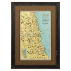
- Pictorial Map of Chicago, circa 1926Located in Colorado Springs, COThis is a colorful folding pocket map of the city of Chicago, published by The Clason Map Co., circa 1926. This highly decorative, double sided map features "Pictorial Map of Chicago...Category
Vintage 1920s American Maps
MaterialsPaper


You May Also Like
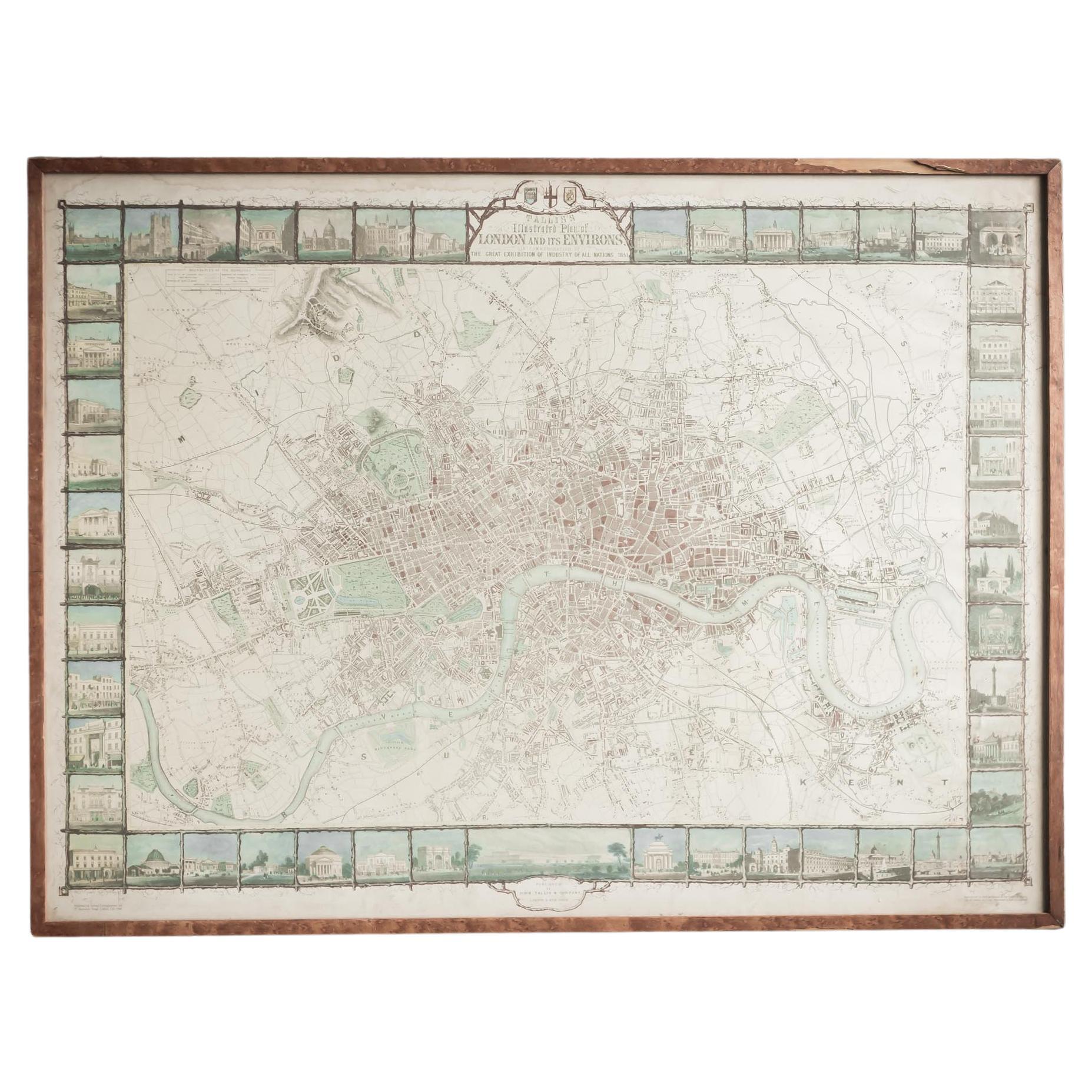
- Illustrated Map of London from ExhibtionLocated in Alton, GBDetailed illustrated map of London from the great exhibition of industry of all nations 1851.Category
Antique 19th Century Maps
MaterialsPaper
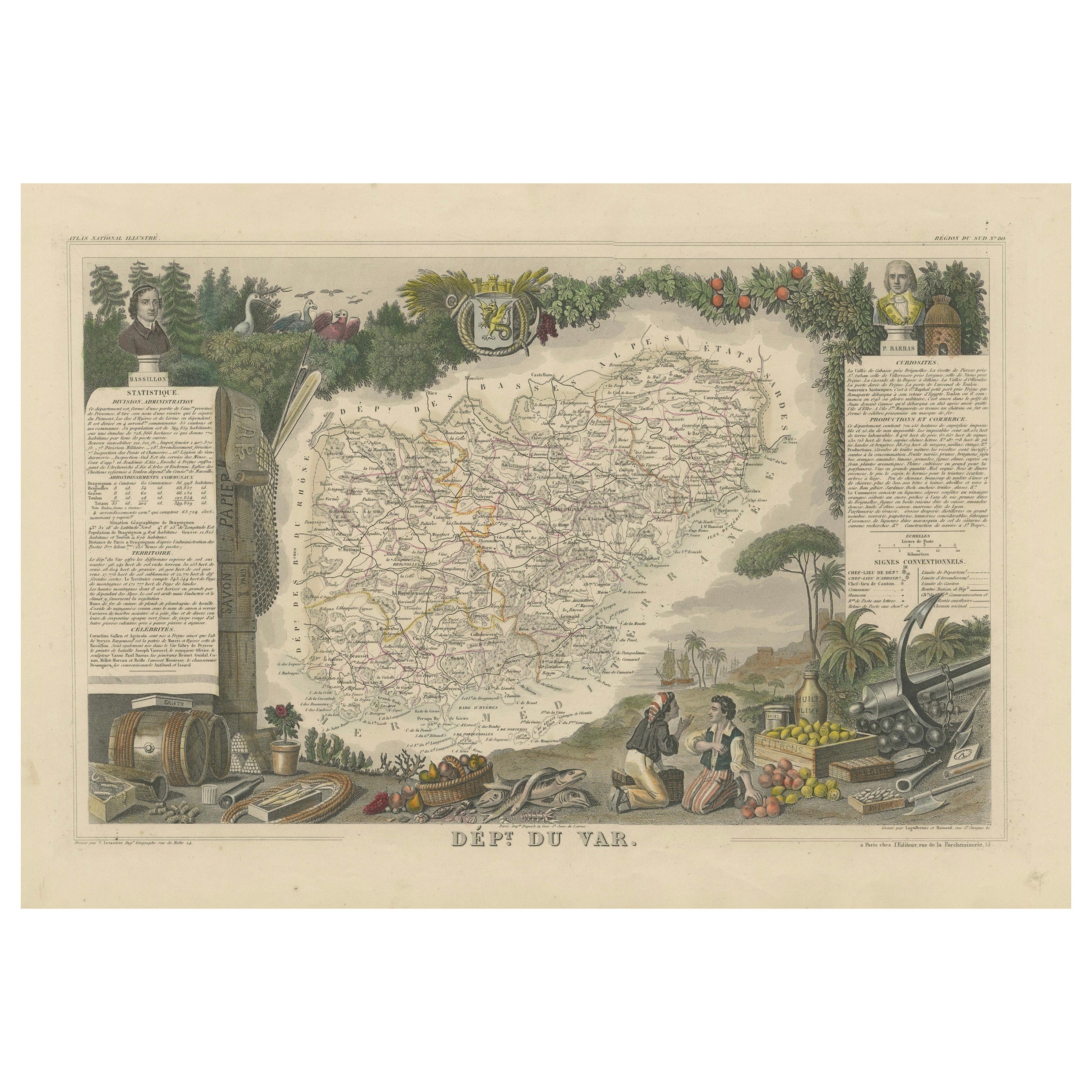
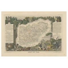
- The Illustrated Map of the Var Department from the Atlas National Illustré, 1856Located in Langweer, NLThis original hand-colored map is from the "Atlas National Illustré," a work by Victor Levasseur, a French geographer and cartographer known for his richly illustrated maps. The map...Category
Antique 1850s Maps
MaterialsPaper
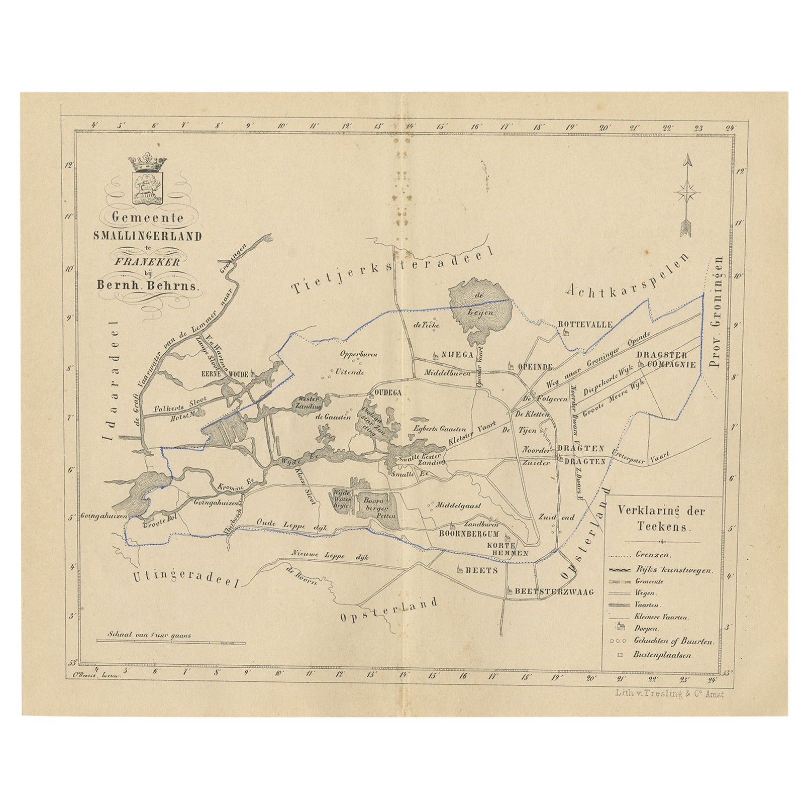
- Antique Map of The Dutch Smallingerland Township, 1861Located in Langweer, NLAntique map titled 'Gemeente Smallingerland'. Old map depicting the Smallingerland township including cities and villages like Eernewoude, Oudega, Boornbergum, Opeinde and Drachten. ...Category
Antique 19th Century Maps
MaterialsPaper
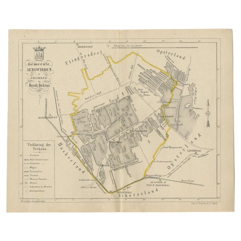
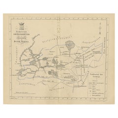
- Antique Map of the Dutch Township Aengwirden, 1861Located in Langweer, NLAntique map titled 'Gemeente Aengwirden'. Old map depicting the Aengwirden township including cities and villages like Tjalleberd, Luinjeberd, Terband and Gersloot. This map orginate...Category
Antique 19th Century Maps
MaterialsPaper
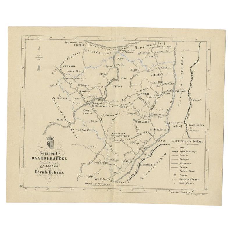
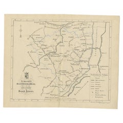
- Antique Map of the Dutch Township Baarderadeel, 1861Located in Langweer, NLAntique map titled 'Gemeente Baarderadeel'. Old map depicting the Baarderadeel township including cities and villages like Baard, Hilaard, Jorwerd, Oosterlittens and Oosterwierum. Th...Category
Antique 19th Century Maps
MaterialsPaper
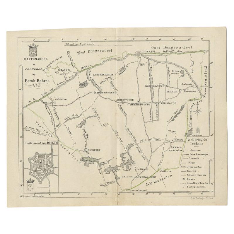
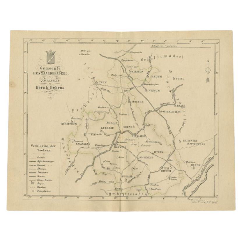
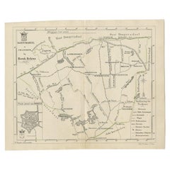
- Antique Map of the Dutch Dantumadeel Township, 1861Located in Langweer, NLAntique map titled 'Gemeente Dantumadeel'. Old map depicting the Dantumadeel township including cities and villages like Birdaard, Roodkerk, Veenwouden, Dantumawoude and Dokkum. This...Category
Antique 19th Century Maps
MaterialsPaper


Recently Viewed
View AllMore Ways To Browse
Large Framed Maps
Framed World Map
Large Framed Antique Maps
Large Map Of London
Antique Style Map Of The World
World Maps Antique Style
World Map Antique Style
Antique Map Prints
Antique Prints Maps
Antique Prints And Maps
Antique Maps And Prints
Map 19th Century
Antique Atlas Furniture
Map Of France
Large Maps
Large Map
Antique German Collectibles
Original World Map